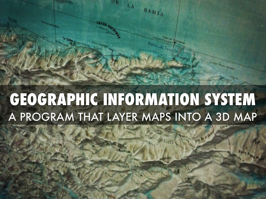
ITS485 - Geographic Information Systems
- Home
- Teaching-ITS485
Overview
Geographic Information Systems (GIS) are used in a wide variety of planning, facilities management, resource management, business, and applied research applications. GIS is also providing location-based services and cloud computing. The integration of GPS functionality and increasingly powerful mobile electronics (cell phones, tablets) allows many organizations to use GIS for business intelligence and improve productivity.
Course description
This course provides an introduction to digital mapping and spatial analysis using GIS. In this class, you will learn about basic GIS concepts including spatial data structures, data sources and transfer methods, projections and coordinate systems, global positioning systems (GPS), geocoding, map design, spatial data processing, and spatial analysis. Other topics such as raster-vector integration, web-based GIS and mobile GIS will be introduced, and thus giving ideas for class project. By the end of the course, students will have sufficient background to identify the relevant spatial characteristics of diverse application areas enabling them to integrate spatial thinking and GIS analysis into their careers. Students who understand how to use geospatial technologies gain a significant advantage in the information technology field. The lectures discuss underlying theory and how it is implemented in GIS software. The lab sessions allow students to gain hands-on experience with GIS software. The class project offers an opportunity for students to build their basic GIS applications.
Course objectives
To provide an understanding of the basic concepts and uses of GIS technology so that spatial information can be incorporated as an additional aspect of students’ research and studies.
Prerequisites
This course is designed for those who are new to GIS. Basic computer programming experience is expected.